hvg.hu · Tech-Tudomány ·
AWS and Drones Accelerate Rapid Mapping of Disaster Situations
Using drone footage, Help.NGO processes disaster site data with AWS technology to provide information within hours. The AI models detect buildings and roads, enabling rescue commanders to make quick decisions.
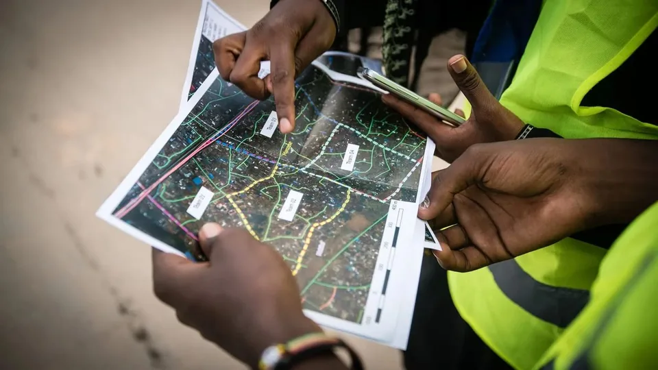
Based on aerial images captured by Help.NGO drones, the organization quickly assesses disaster situations such as hurricanes, forest fires, or earthquakes. The processing of the resulting terabytes of imagery is handled by Amazon Web Services (AWS) technology.
The new solution works even with weak internet connectivity: using a private 4G/5G network and on‑site AWS Outposts, data analysis can be performed right at the disaster site. AI models are capable of recognizing buildings, roads, and other terrain features, allowing damage assessment and hazard prediction.
The Humanitarian OpenStreetMap Team (HOT) also uses an AWS-based system for a similar purpose. The organization has assisted in mapping more than 170 disaster sites, processing data from drone and satellite imagery to quickly create digital maps.
In both cases the goal is not only to increase data volume but to provide useful information within a short time to rescue commanders working on site.
Source: https://hvg.hu/tudomany/20260926_helpngo-openstreetmap-muholdfelvetelek-dronvideok-elemzese-ai-aws